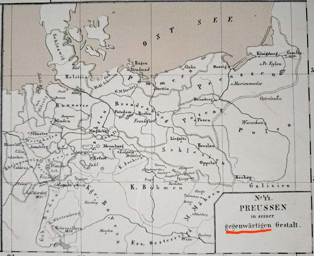

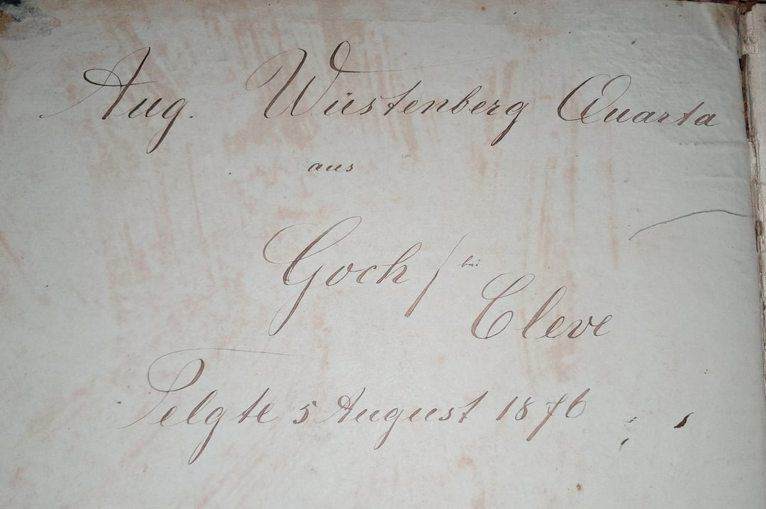
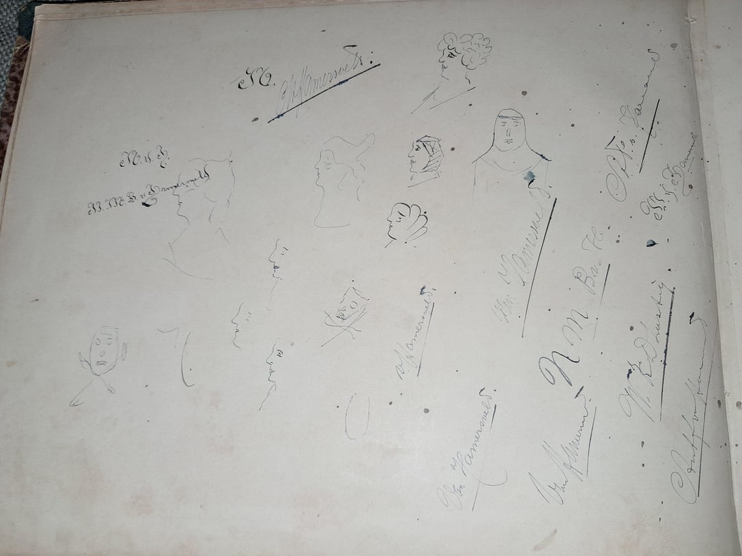
Era la mappa attuale al momento in cui è stata realizzata. Probabilmente risale al 1870 circa. È in un vecchio atlante scolastico tedesco. Ci sono anche delle belle calligrafie e degli scarabocchi nell’atlante.
https://www.reddit.com/gallery/1p96t5m
di Real_Ad8868

4 commenti
5th of August 1876 i would guess.
You did spot the date did you? August 5th 1876
what a shame
Most likely it was produced between 1866 and 1871. Nassau and Frankfurt, which among other territories were annexed by Prussia after the German War of 1866, are shown as parts of Prussia, while notably Alsace-Lorraine is absent, and many locations of battles in Bohemia and Moravia, which have no significance other than that, are explicitly mentioned.