
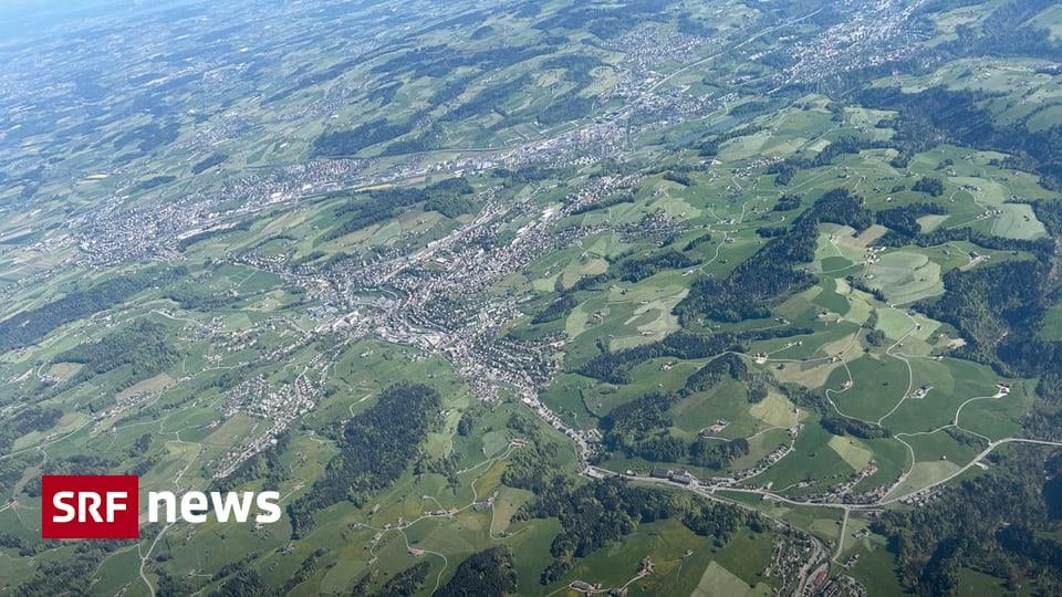
Meglio di Google – Swisstopo fotografa ogni dettaglio della Svizzera | Anche nell’era dei satelliti e dei droni, i geometri nazionali fotografano un terzo della Svizzera ogni anno.
https://www.srf.ch/news/schweiz/besser-als-google-swisstopo-fotografiert-jedes-detail-der-schweiz
di BezugssystemCH1903
3 commenti
Very nice topic, also because I deal with the free basic data from Swisstopo on a daily basis.
Base map:
https://map.geo.admin.ch
Terrain data:
https://www.swisstopo.admin.ch/de/hoehenmodell-swissalti3d
3D buildings:
https://www.swisstopo.admin.ch/de/landschaftmodell-swissbuildings3d-3-0-beta
The converter to convert reference systemCH1903 to 1903+.
https://www.swisstopo.admin.ch/de/koordinaten-konvertieren-reframe
This is a lot more practical than before, as there is no need to survey on site during the project planning phase.
Living in a rural area, Google is ridiculously out of date, both photos and maps.
SwissTopo is amazing. I’ve been able to code crazy things using this data. All thanks to taxes and public services.
We shouldn’t defer everything to American companies. Sovereign ownership matters.