
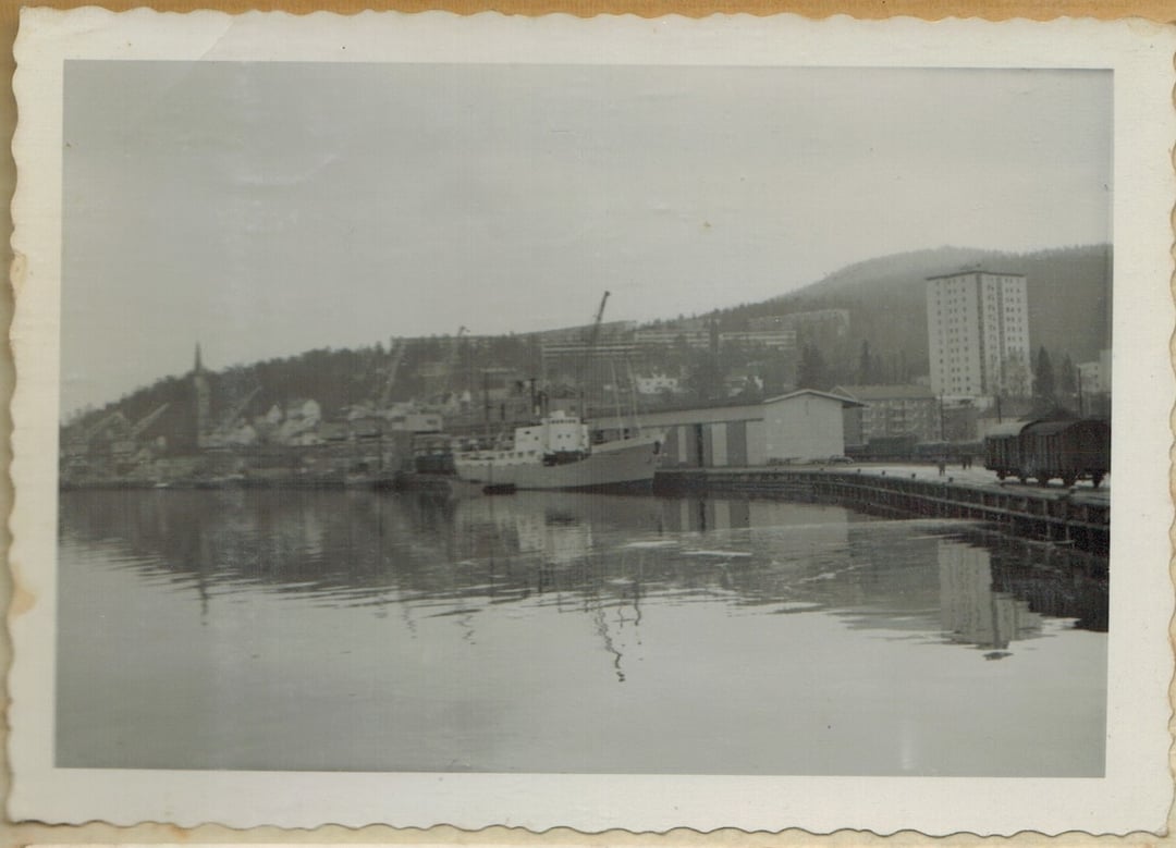
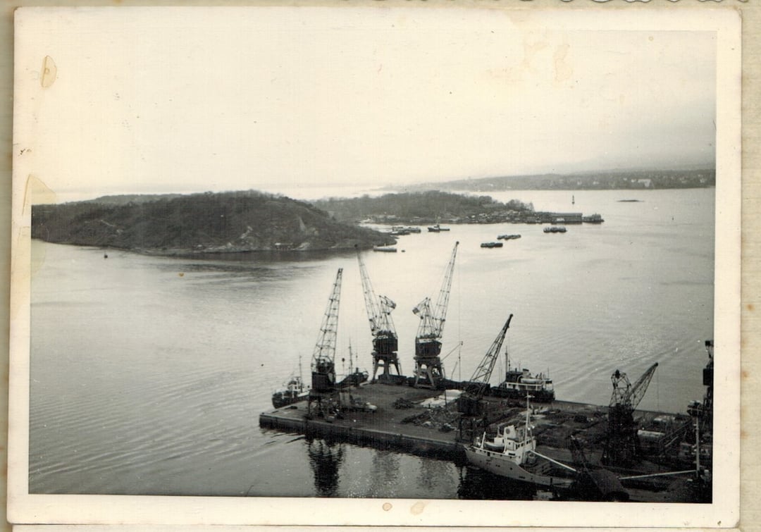
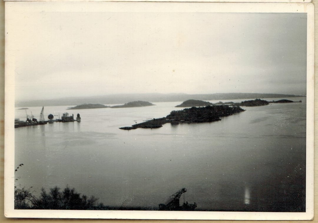
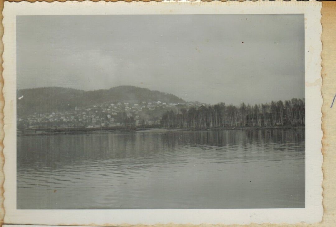
I miei nonni erano grandi viaggiatori e hanno viaggiato per il mondo in barca. La nave era la Flavia. Questa pagina è intitolata Norvegia del 1963. Ho intenzione di viaggiare in Norvegia in futuro e vorrei visitare questi luoghi, se possibile.
https://www.reddit.com/gallery/1m75w86
di widgeamedoo
11 commenti
I’m not sure, but could this be Oslo?
Second and third picture could be taken from Ekeberg? Overlooking the Oslofjord?
Im going to go with drammen but needs a little more confirmation perhaps
First picture is Drammen harbour, the other’s I can’t tell but look very typical for the Oslo fjord area.
3rd one is from Oslo, looking out over the fjord, maybe from the Ekeberg restaurant. The island in the foreground I think is Bleikøya, with Lindøya directly behind it and Langøyene behind to the left. Second one is almost from the same place, out over the fjord, looking over Sørenga port towards Hovedøya, I think
Second picture is Hovedøya, out in the Oslofjord. Don’t know about the rest, the islands in the third doesn’t look like the other “Oslo islands” though.
Norwegian newpapers in 1963 followed two families of seven from Honningsvåg in Norway, who emigrated from Norway to Australia on the vessel Flavia.
The ship went via Genova and the Suez canal, but it is not mentioned where in Norway it eventually started.
First and last picture = Drammen 100%. They’re 180° opposite each other.
First picture is somewhere around Rundtom, Drammen: 59.7308638, 10.2252295
Second picture is at or close to Karlsborg Utsikt, Oslo:
59.8993657, 10.7592671
Third picture might be just Karlsborg Utsikt again but a different angle or it might be another vista point, Ekebergskråningen which is a short walk south of Karlsborg Utsikt:
59.8946971, 10.7605391
Fourth picture is somewhere around Brakerøya, Drammen: 59.7407289, 10.2464726
Number 1 is Drammen: [https://maps.app.goo.gl/yetS2xLboXnd7Mzn9](https://maps.app.goo.gl/yetS2xLboXnd7Mzn9)
Number 4 also looks like Drammen, around the Holmen area looking over the river. The area looks quite different now.
Pretty sure that pic 1 is in Drammen. (I live there)
First picture is from Drammen, currently there is a small [brewery/pub](https://maps.app.goo.gl/4VCnfKuW61acYH7VA) in the large building behind the ship you see there.
Not sure about nr 2 and 3 but I’m wondering if nr 4 can be taken from the fjord and up towards Lier/Drammen and the area called “Strøtvet/Toppenhaug” before the apartment blocks were built? The forest area on the bottom left and the area next to the fjord might be old “Lierstranda” before this area was exploited and built up by industry etc. But don’t take nr 4 for all guaranteed.