
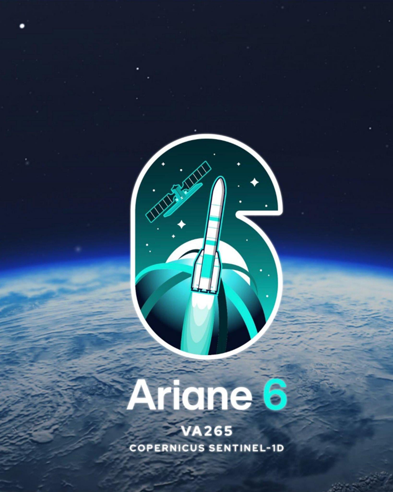
Il 4 novembre 2025 alle 18:03 ora locale (21:03 UTC, 22:03 CET). Un satellite Sentinel-1D, parte del programma Copernicus dell’UE, sarà lanciato da un razzo Ariane6 nella Guyana francese, in Francia.
https://i.redd.it/yndu9pqafwyf1.jpeg
di UpgradedSiera6666
2 commenti
On November 4th, 2025 at 6:03 p.m. local time (9:03 p.m. UTC, 10:03 p.m. CET).A Sentinel-1D satellite designed to carry an advanced radar instrument to provide an all-weather day-and-night supply of imagery of Earth’s surface. part of the EU Copernicus Programme will be launched by an Ariane6 #VA265 Rocket in French Guiana, France in South America.
Additional info, There are negociation underway between Amazon and ArianeGroup for a new contract of more series of Ariane 6 launches for the Kuiper’s Constellation 2nd Gen.
A First Contract had already been made previously for 18 Ariane 6 launches missions.
I can’t help but be a bit sad because once the quality of the SAR antenna of 1D will be confirmed, Sentinel-1A will be decomisionned after 12 years of fantastic data and 1D will be placed on its orbit.
—
To explain a bit the significance of this launch, the Sentinel-1 satellites all carry a SAR antenna. SAR is quite versatile and can get a lot of information on the meteorology on the ocean (man application is the wind speed, but we can get info about its direction, the rain, waves, algal bloom, sea ice, icebergs, …).In particular, there was just two days ago a very nice observation of a offshore wind farm lowering the wind speed ([SAR obs here](https://ovl.oceandatalab.com/?date=2025-10-31T12:00:00×pan=1d&zoom=10¢er=707806.67822268_7211647.447166&extent=524357.81036379_7123286.2424806_891255.54608157_7300008.6518514&products=3857_SAR_roughness&opacity=100&stackLevel=100.02&filter=+A,+B,+C,+IW,+EW,+SM,+WV,+VV,+HH&selection=1) and [derived wind speed here](https://ovl.oceandatalab.com/?date=2025-10-31T12:00:00×pan=1d&zoom=10¢er=714380.25707629_7207123.7358781&extent=530931.3892174_7118762.5311927_897829.12493518_7295484.9405635&products=3857_SAR_roughness!3857_SAR_wind&opacity=0_100&stackLevel=100.02_70.02&filter=+A,+B,+C,+IW,+EW,+SM,+WV,+VV,+HH!+A,+B,+C,+IW,+EW,+SM,+WV,+VV,+HH&selection=11)) over dozen of kilometers (I didn’t even know it was possible for this kind of thing to exend so far).
It is also used to detect oil spill, ships (e.g. for illegal fishing, or illegaly cleaning their tank in the open ocean). In glaciology, SAR interferometry allow to study the evolution of ce shelfs. Intererometry can also be used in sismology or vulcanology (e.g. we can see earth displacement caused by magma filling the magmatic chambers). I am not a specialist of land application, but I know it used for agriculture to observe land moisture.
Edit: Forgot to tell that, but since it is part of the Copernicus program, all the data are open and can be downloaded. Resolution can go as high as 10 m/px (though it will often be decreased to something like 100m or 1km depending on what we want to do with the data).