Mappa in rilievo ombreggiato della Penisola Iberica (dalla mappa del 1956)
https://i.redd.it/t4n0j5kpft0d1.jpeg
di helloVizart

Mappa in rilievo ombreggiato della Penisola Iberica (dalla mappa del 1956)
https://i.redd.it/t4n0j5kpft0d1.jpeg
di helloVizart
3 commenti
Hello /Spain!
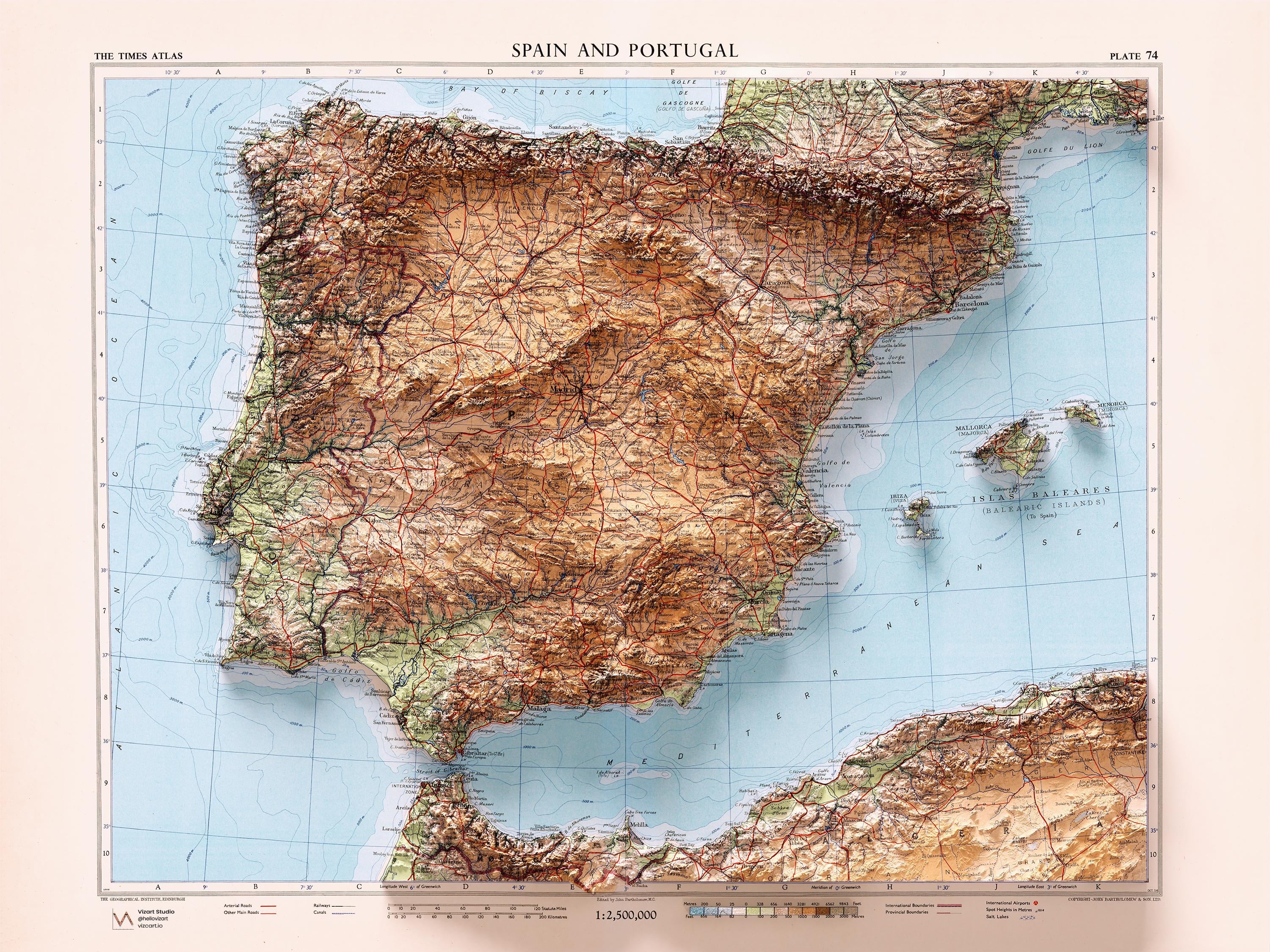
I am happy to share with you the map I made from a vintage map of the Iberian Peninsula from 1956.
The relief is deliberately and consciously exaggerated and the original map is from an atlas edited and published by John Bartholomew & Son LTD.
What a natural border the Pyrenees are
And Andorra, Part of France, Part of Marocco, Part of United Kingdom.